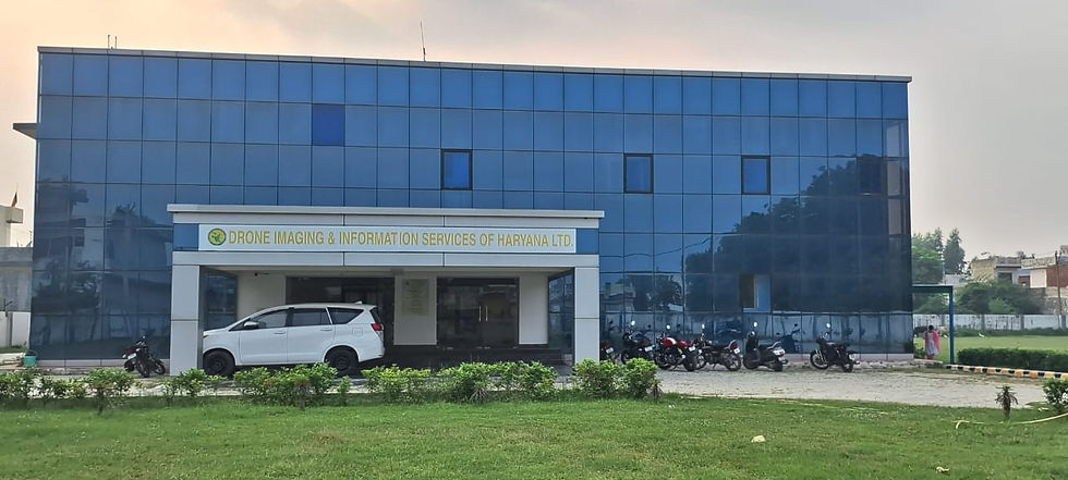


DRIISHYA
The Government of Haryana established Drone Imaging & Information Services of Haryana Ltd. (DRIISHYA) to undertake data acquisition, image processing, geographical information analysis, and decision support system using drones/ Unmanned Aerial Vehicles. DRIISHYA intends to build in-house capacity and further leverage this to the quick acquisition of data/ information, thereby expeditious decision making for the Government Departments / Agencies.
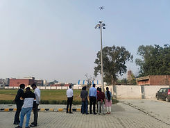
The acquisition, management, operations, and maintenance of drones would be in accordance with the guidelines of the Director-General of Civil Aviation (DGCA) and notifications issued by the ministry of civil aviation, Government of India. The images and raw information so collected would be processed at the Data Processing, Applications and Management Centre of DRIISHYA. The base maps generated will be used along with the customized information layers meeting the specific requirements of the concerned departments / Corporation / Board/ Agencie


